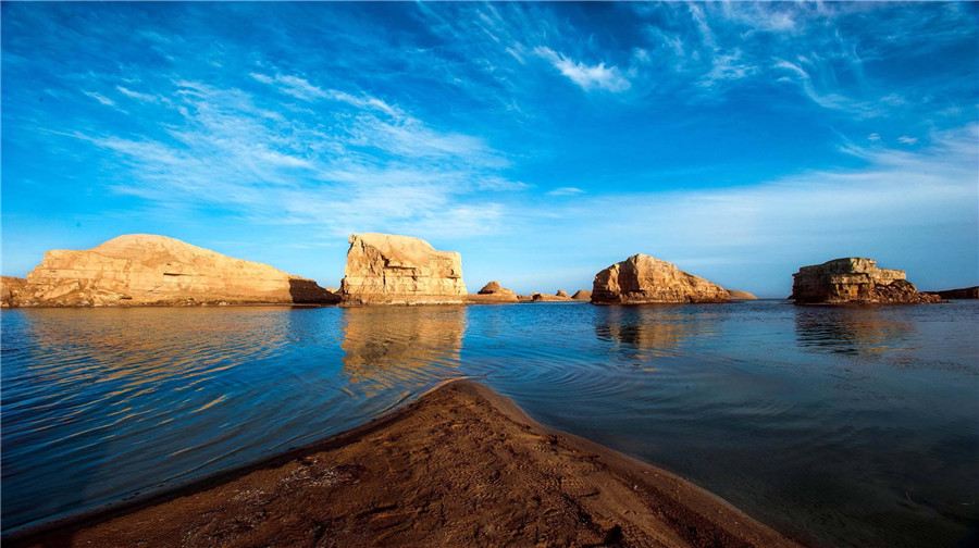
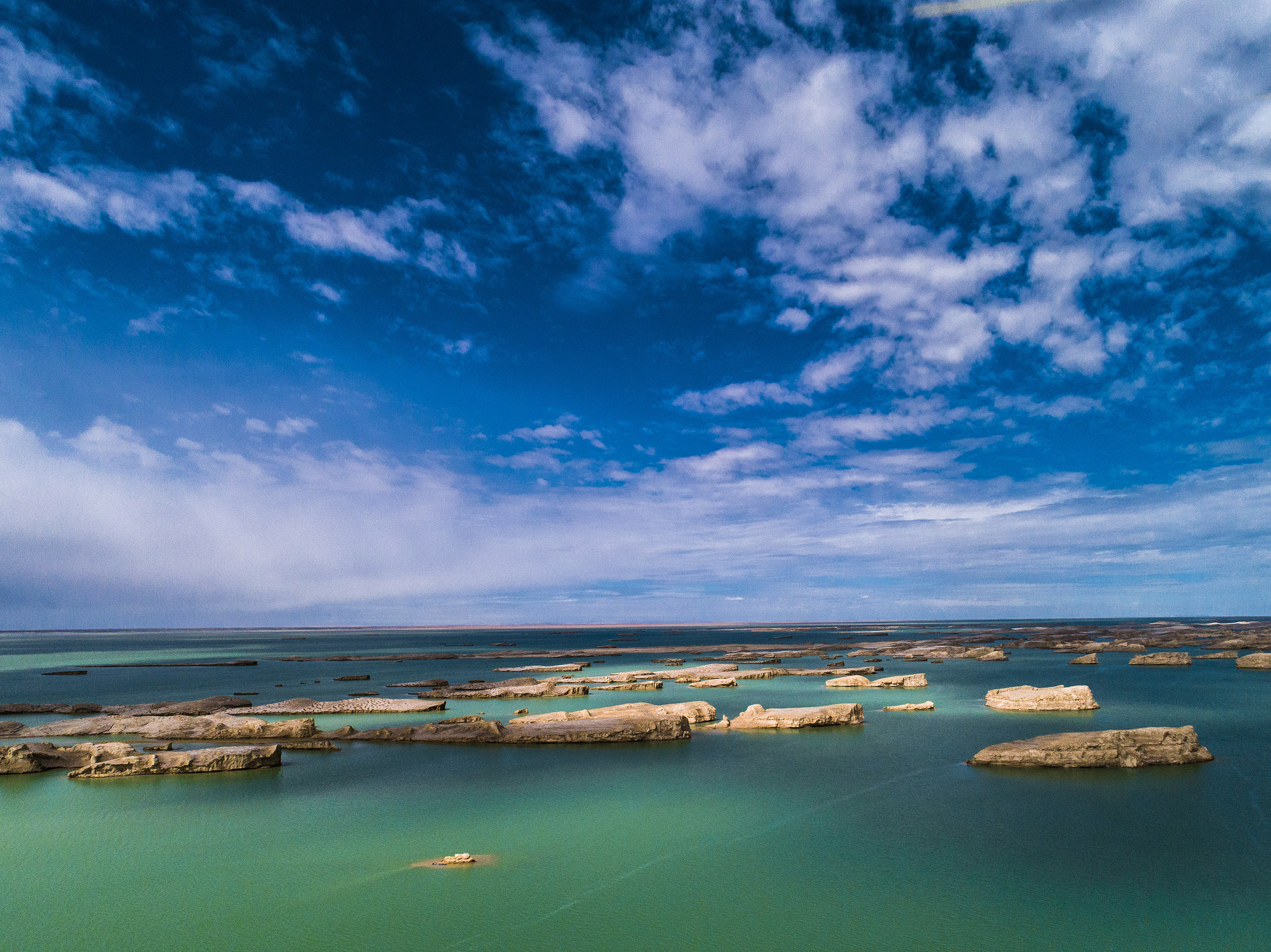
Wusut Yadan Geopark is located in the northwest of the Qaidam Basin. After tens of millions of years of geological movement and time and space changes, it has bred and formed the world's largest and most spectacular Yadan landform community, covering an area of about 21,000 square kilometers. Wusut Yadan is mainly distributed in the South Eight Immortals Yadan community, and the Yadan mound in the area is 10-25 meters high, and the highest can reach 50 meters.
The distinctive feature of Wusut Yadan Geopark is its Yadan landform. What is Yadan? Yadan is a strange wind erosion landform, due to millions of years of geological changes, under the long-term action of external forces, the exposed strata are eroded into steep hills and trough lowlands. It's breathtaking!


What to Visit in Wusute Yadan Geological Park
Wusut Yadan Geopark is located in the northwest of the Qaidam Basin. After tens of millions of years of geological movement and time and space changes, it has bred and formed the world's largest and most spectacular Yadan landform community, covering an area of about 21,000 square kilometers. Wusut Yadan is mainly distributed in the South Eight Immortals Yadan community, and the Yadan mound in the area is 10-25 meters high, and the highest can reach 50 meters.
The distinctive feature of Wusut Yadan Geopark is its Yadan landform. What is Yadan? Yadan is a strange wind erosion landform, due to millions of years of geological changes, under the long-term action of external forces, the exposed strata are eroded into steep hills and trough lowlands. It's breathtaking!
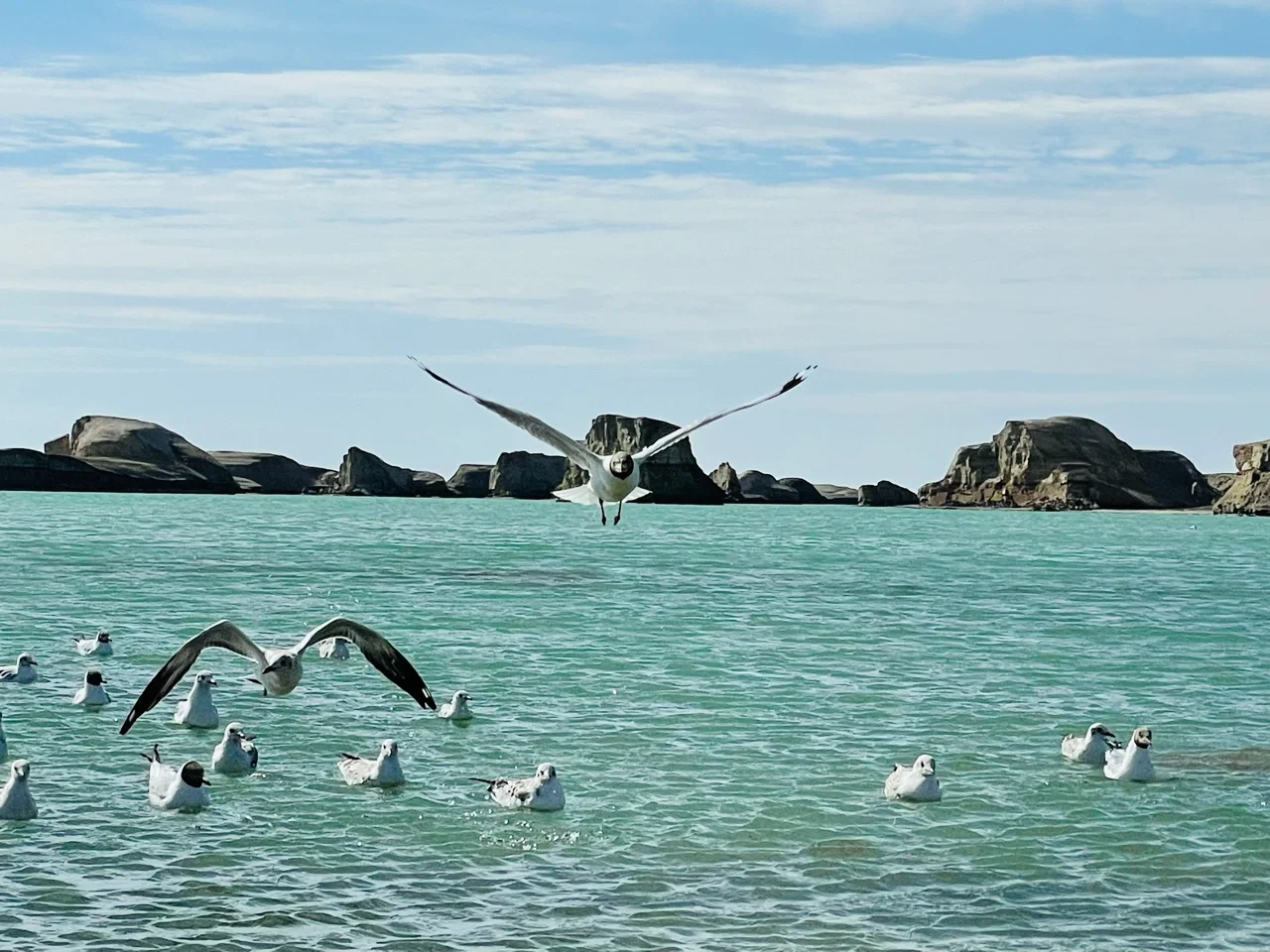
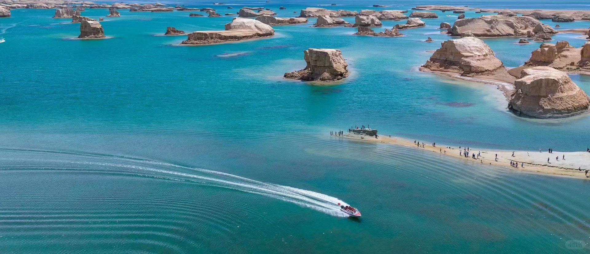
Every stone in Yadan on the water is like an illusory pure land of immortals, with no end in sight at a glance, leaving you with only infinite reverie. The blue lake water, the uncanny Yadan landform, the ducks and geese singing in the sky, the sparkling water, and the dunes and lakes form a beautiful picture.
Some landforms look like ancient castles, while others look like animals, monsters, and ghosts. It not only has strange and grotesque landforms and erratic winds, but also is called "Devil City" because the local rocks are rich in iron, the geomagnetism is strong, and the compass often fails here.


Features
Location: Dachaidan, Haixi Prefecture, Qinghai Province
Scenic Spot Level: National 4A Level Scenic Spot
Climate: Plateau continental climate
Travel Information
Opening Time: 8:00-18:00
Entrance ticket: Peak-season (1st May - 30th October): 60CNY
Off-season (1st November - 30th April): 30CNY
Round trip sightseeing bus: 60CNY
Best Time to Travel: May to October
Travel Tips
1.Due to the complex terrain, some areas may have security risks, please follow the scenic signs and regulations, do not enter the prohibited area.
2.Altitude may cause altitude sickness, it is recommended to prepare in advance and carry some altitude sickness medication if necessary.
You can participate in activities at your own expense in the scenic spot, such as riding camels, taking speedboats, and experiencing cross-country motorcycles.


